NEXLAB - College of DuPage Meteorology - NEXRAD Base Reflectivity (0.5) for Mobile, AL
| Home | Academics | Weather Data | COD Storm Chasing | Local Weather | NEXLAB |
Enjoy this page? Unidata made it possible!
The imagery on this page is generated with Unidata's McIDAS-X software package. It is because of these tools and resources that we are able to bring this data to you. Unidata empowers educational institutions like ours by providing software, support and grants to further education and research of our planet and atmosphere. To learn more about Unidata, visit them here.DISCLAIMER:
This page, its features and contents are largely in a completed state. However, active development is still on going. If you are curious about feature development and want to float an idea past our development staff, we are certainly open to suggestions from our users. The overwhelming majority of the imagery on this page is rendered at a resolution of 900x900 pixels. Because of this we recommend viewing this page at a 16:9 or 16:10 aspect ratio at a resolution of 1920x1080 or greater. A mobile version of this page is still in development.Product Description
Website Alert Message
Radar Status Message
No Radar Status Message AvailableFor further information, check the following twitter accounts for periodic updates on product generation status and website improvements; @CoDWXData and @CODMeteorology. Your feedback is always appreciated, so feel free to respond to tweets or send us an email using our Feedback page.
Dual-Pol Radar Site Selection
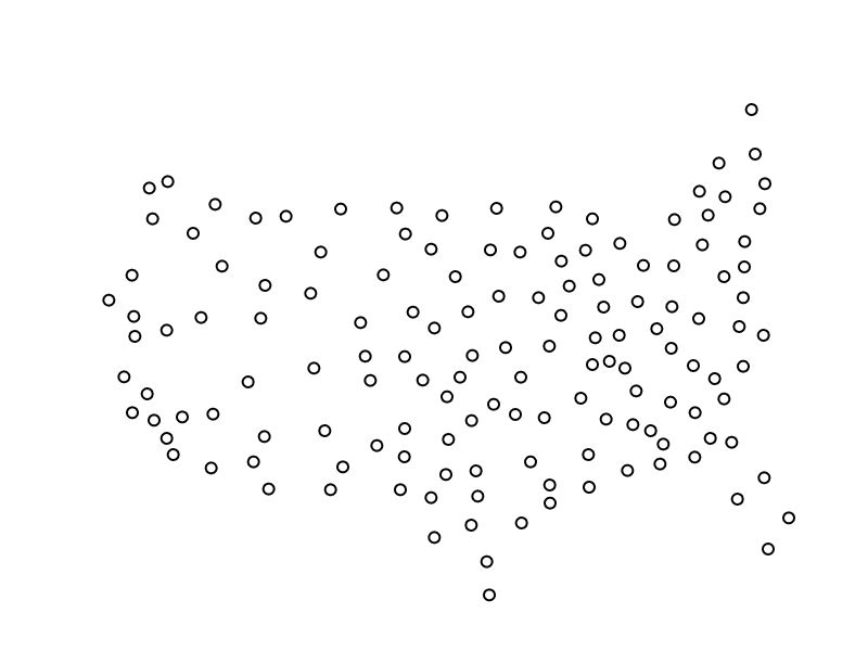
| Change Map Region: | CONUS | ALASKA | HAWAII | Addtional Sites: | Guam | Puerto Rico |
|---|

| Change Map Type: | Radar | Radar + Warnings |
|---|
Active Severe Weather Warnings
Click warning for Full Text - Choose from Available Radars to switch site
| Type | Counties Affected | Tornado Status | Hail Size | Wind Speed | Available Radar(s) | Issued by | Issuance Time | Expire Time |
|---|

