Index of /cdata/satellite_r/subregional/Oregon/maps
Name
Last modified
Size
Description
Parent Directory
-
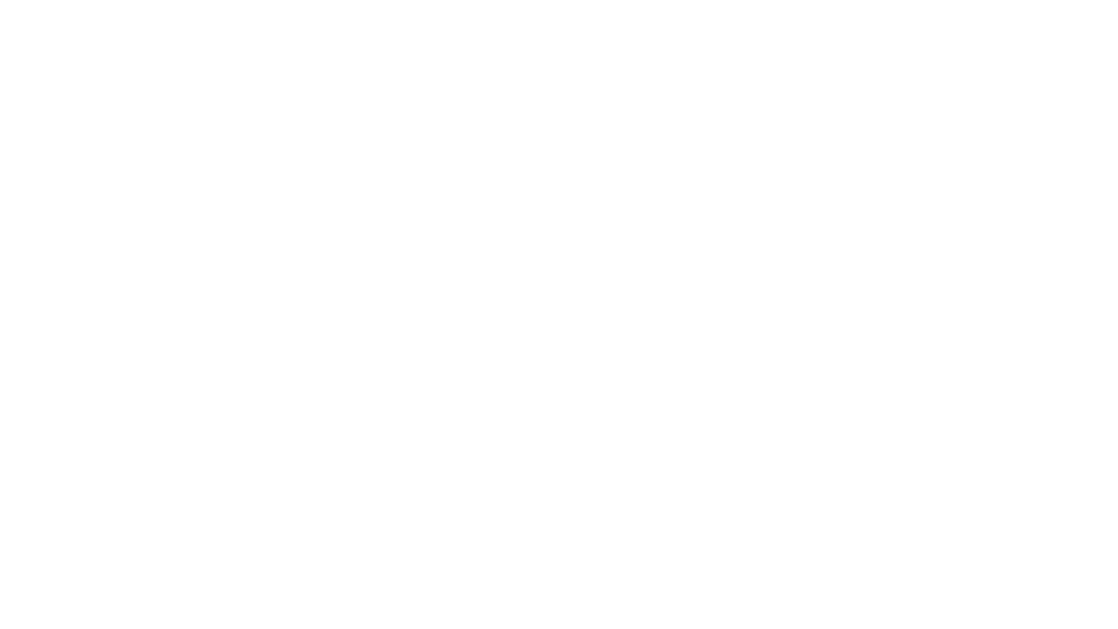
Oregon_ranges.png
2025-12-14 05:12
8.1K
Oregon_id.gif
2025-12-14 21:16
4.6K