
- SPC Convective Outlook Day 1
- Hazardous Weather Outlook
- Active Weather Warnings
- School Closings
- -with Watches and Warnings
- -with Lightning Detection
- SPC Convective Outlook Day 2
- SPC Convective Outlook Day 3
- Special Weather Statement
- Watch County Notification
- Winter Weather Statement
- Severe Weather Statement
- Non-Precip Statement
- General Safety Guidlines
- Tornado Safety
- Lightning Safety
- Flood Safety
- Winter Safety
- Watch and Warning Definitions
- Tornado Scale
- Heat Index Chart
- Wind Chill Chart
Essentials:
Regional Satellite and Radar...
Helpful Information:
Weather Safety:
Current Conditions
A message from COD Meteorology
Current Local Radar
| Temperature | |
|---|---|
| 61°F | |
| Feels Like: | |
| 61°F | |
| Dew Point | Humidity |
| 25°F | 25% |
 Mostly Cloudy
| Wind Strength | ||
|---|---|---|
| Light | Moderate | Strong |
|
Southwest at 15 mph GUST: 24mph |
||
Interested in Meteorology?
Study at College of DuPage!
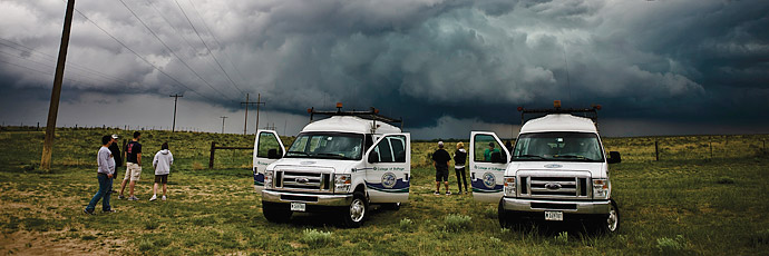 The College of DuPage experience is nothing like any other meteorology program in the nation. Here, you can begin learning real meteorology right away and have more courses to choose from than anywhere else. For further details... Go here!
Local Graphical Forecast (Updated: 02/27/26 1:51 pm)
| Friday (2/27) | |
|---|---|
| Day | Night |
 |
 |
| High | Low |
| 62 | 30 |
| Saturday (2/28) | |
|---|---|
| Day | Night |
 |
|
|
|
|
| High | Low |
| 37 | 23 |
| Sunday (3/1) | |
|---|---|
| Day | Night |
|
 |
|
|
|
| High | Low |
| 32 | 23 |
| Monday (3/2) | |
|---|---|
| Day | Night |
|
|
|
|
|
| High | Low |
| 40 | 31 |
| Tuesday (3/3) | |
|---|---|
| Day | Night |
 |
|
|
|
|
| High | Low |
| 43 | 33 |
| Wednesday (3/4) | |
|---|---|
| Day | Night |
 |
|
|
|
|
| High | Low |
| 48 | 39 |
| Thursday (3/5) | |
|---|---|
| Day | Night |
|
|
|
|
|
| High | Low |
| 53 | |
Detailed Text Forecast (Updated: 02/27/26 1:51 pm)
Friday: Sunny, with a high near 62. Breezy, with a southwest wind 15 to 20 mph, with gusts as high as 30 mph.
Friday Night: Mostly clear, with a low around 30. West southwest wind 10 to 15 mph becoming north northwest after midnight. Winds could gust as high as 25 mph.
Saturday: A 20 percent chance of snow after 2pm. Increasing clouds, with a high near 37. North wind 5 to 10 mph becoming east in the morning. Winds could gust as high as 15 mph.
Saturday Night: Mostly cloudy, with a low around 23. North wind 10 to 15 mph, with gusts as high as 20 mph.
Sunday: Mostly cloudy, with a high near 32. Northeast wind around 10 mph, with gusts as high as 15 mph.
Sunday Night: A 30 percent chance of snow. Mostly cloudy, with a low around 23.
Monday: Partly sunny, with a high near 40.
Monday Night: A chance of rain after midnight. Mostly cloudy, with a low around 31.
Tuesday: A chance of rain. Cloudy, with a high near 43.
Tuesday Night: A chance of rain before midnight. Mostly cloudy, with a low around 33.
Wednesday: A chance of rain. Mostly cloudy, with a high near 48.
Wednesday Night: Rain likely. Cloudy, with a low around 39.
Thursday: Rain likely. Cloudy, with a high near 53.
 317
317  673
673  329
329